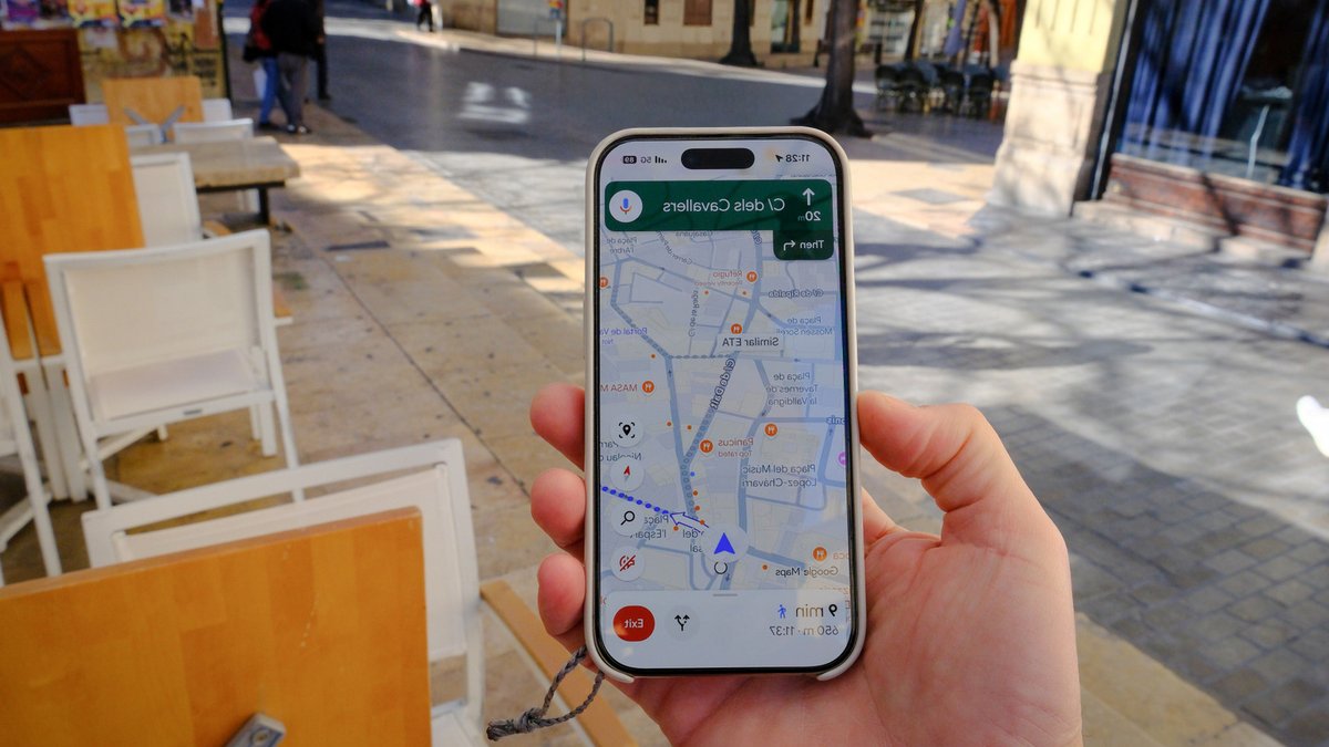
Google Maps struggles in rural areas because the technology relies on a specific type of information density that is simply not present in the countryside. The app works best where roads, addresses, landmarks, and user activity are abundant, so it can feel less reliable in places where those details are sparse.
The countryside often has fewer reference points to lean on, so an address may be harder to pin down and routing can become less precise than it is in cities. Physical geography adds another layer of trouble, too, because forests, hills, and valleys can interfere with GPS signals and make your location bounce around more than it should.
Why the map gets fuzzy
This gap can lead to mistakes that feel small in town but matter a lot out in the country, like routes that miss the most practical road or pin drops that land on the wrong side of a long driveway. Because data on rural areas tends to get updated much less frequently than data in more populous areas, major changes in routing or addressing often aren’t reflected in the current version of the app.
Related: Why OnePlus R Series Phones Are Budget Friendly
It’s an issue you encounter frequently on Street View when perusing rural areas; sometimes the images are as much as a decade old or more, showing buildings that no longer exist, house different businesses, or have been renovated to look drastically different.
Infrastructure limits the experience
Rural users are more likely to deal with weak cellular service or spotty internet, and that can slow map loading, delay live rerouting, or make navigation feel inconsistent. Despite some great new features added in 2026, connectivity remains a major hurdle for those relying on digital navigation in remote regions.
Maps draws its data from a vast repository of different sources, including some user-submitted data, which isn’t always accurate. The algorithm also has to sort data from sources as diverse as local municipalities and satellite imagery, alongside a staggeringly huge database of billions of videos and photos.
Related: Intuit to showcase AI infrastructure rebuild at VB Transform 2026
While the service is still generally accurate enough for most rural navigation—especially if you take advantage of hidden features that can make your trips better—it tends to be less polished there because the data, signal quality, and infrastructure simply aren’t as strong.
One major reason for this discrepancy is that rural areas are less densely mapped. Cities generate a huge amount of location data from street grids, businesses, addresses, and constant user activity, while rural regions can have fewer marked roads and named landmarks. That means the app has less raw material to build a highly detailed picture of where you are and where you need to go.
There is a possibility that as autonomous vehicle testing expands into more remote environments, the frequency of these updates might eventually increase. However, until that widespread infrastructure shift occurs, users in sparsely populated areas will likely continue to experience the occasional navigation glitch.





Leave a Reply